LeoLabs Space Platform: live LEO visualization and conjunction search
LeoLabs' browser visualization of low Earth orbit, built on its own radar network: search the catalogue by satellite or constellation, watch today's conjunctions and follow launches. Free to open, commercial data behind it.
What it is
LeoLabs is a commercial space-situational-awareness company founded in 2016 in Menlo Park, California. It runs its own network of ground radars rather than relying on government catalogues: twelve radar facilities across seven sites, in Alaska, Texas and Arizona in the United States, in New Zealand, Costa Rica, Australia, Argentina and the Azores. Together they track more than 23,000 objects in low Earth orbit, down to about 10 cm, and feed a catalogue that the company sells to constellation operators, insurers and government agencies. In September 2026 LeoLabs also unveiled Scout, a mobile phased-array radar it now sells directly to allied governments.
The Space Platform visualization is the public face of that catalogue: a browser application that renders the tracked population in 3D around the Earth. It opens without an account; the deeper features (conjunction reports, alerts, collections, API access) sit behind a commercial licence.
What you can do with it
- Catalog search: find a satellite by name or NORAD id and see its current orbit, altitude and inclination; the view can be filtered to a constellation, which is the fastest way to see how Starlink's shells or OneWeb's twelve polar planes are actually laid out.
- Today's conjunctions: a list of the close approaches LeoLabs predicts for the day, with miss distance and probability of collision. It is the same conjunction analysis product operators pay for, shown at a coarser level.
- Launch tracking: newly launched objects are picked up by the radars within hours, before they appear in public element sets, which is useful for confirming a Starlink or Amazon Leo batch reached its parking orbit.
- Tracking and monitoring, collections: watchlists for a fleet, with alerting; commercial tier.
Who it is for
For an enterprise buyer or a reseller, LeoLabs is not an everyday tool, but it answers questions that come up in due diligence: how crowded is the shell a provider flies in, how often does a constellation manoeuvre, what happened to a satellite a customer read about. For integrators who advise on multi-orbit designs, it is the reference for space traffic management and debris risk. Analysts covering the LEO operators use it to sanity-check announcements against what is physically in orbit.
How to use it
- Open the visualization and let the catalogue load (a few seconds on a laptop; the globe is WebGL).
- Type a satellite name (for instance a Starlink or OneWeb designation) in Catalog Search, or pick a constellation to highlight its objects.
- Open Today's Conjunctions and sort by miss distance to see the day's closest approaches; click one to see both objects and the time of closest approach.
- For a fleet, create a collection and enable alerts; this is where the paid tier starts.
Limits
The free view shows positions and a subset of conjunction data; it does not expose LeoLabs' covariance or manoeuvre history, and it says nothing about the radio side of a constellation (beams, frequencies, capacity). For orbital element sets you can download and process yourself, use CelesTrak; for a lighter real-time map of Starlink specifically, satellitemap.space.
Related
Definitions: space situational awareness, collision avoidance manoeuvre, Kessler syndrome. Directories: LEO providers, Starlink providers, OneWeb providers.
Find a provider
The listings this resource is relevant to — every company is profiled with services, coverage and contact details.
Keep reading

Amazon Leo for business (2026): network status, antennas, partners and how to buy it
Amazon Leo, formerly Project Kuiper, had 396 satellites in orbit on 28 October 2026 and plans initial service in certain latitudes before the end of…
How to become a Starlink authorized reseller in 2026 (and the routes that remain open)
Starlink no longer accepts reseller applications: the programme is invite-only and indirect reselling on Local Priority plans was paused in April…
How to choose a Starlink installer for your business (2026): reseller, installer or managed provider
Starlink's own installers cover residential plans only, so a business site goes through an independent installer or an authorized reseller. This…
Related resources
CelesTrak: orbital element sets for Starlink, OneWeb, Kuiper and every constellation
CelesTrak, run by Dr. T.S. Kelso, publishes the general perturbation element sets (TLE, OMM, JSON, CSV) for every tracked satellite, grouped by constellation: Starlink, OneWeb, Kuiper, Iridium NEXT, Globalstar and more, plus operator-supplied supplemental data. Free, updated continuously.
satellitemap.space: real-time map of Starlink, OneWeb and 30,000 satellites
satellitemap.space, online since 2019, plots more than 30,000 satellites live on a WebGL globe with dedicated views for Starlink and other internet constellations: growth and launch charts, decays, orbits, ground stations, a re-entry monitor, close-approach detector and a LEO box score comparing constellations.
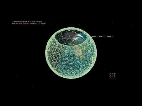
Mega-constellations in three minutes: O3b mPOWER, OneWeb and Starlink
A concise academic explainer (November 2023) of non-geostationary constellations, comparing SES's O3b mPOWER in medium Earth orbit with OneWeb and Starlink in low Earth orbit, made alongside a Frontiers paper on connecting space missions through NGSO constellations. Good for the orbit and orbital-plane basics.